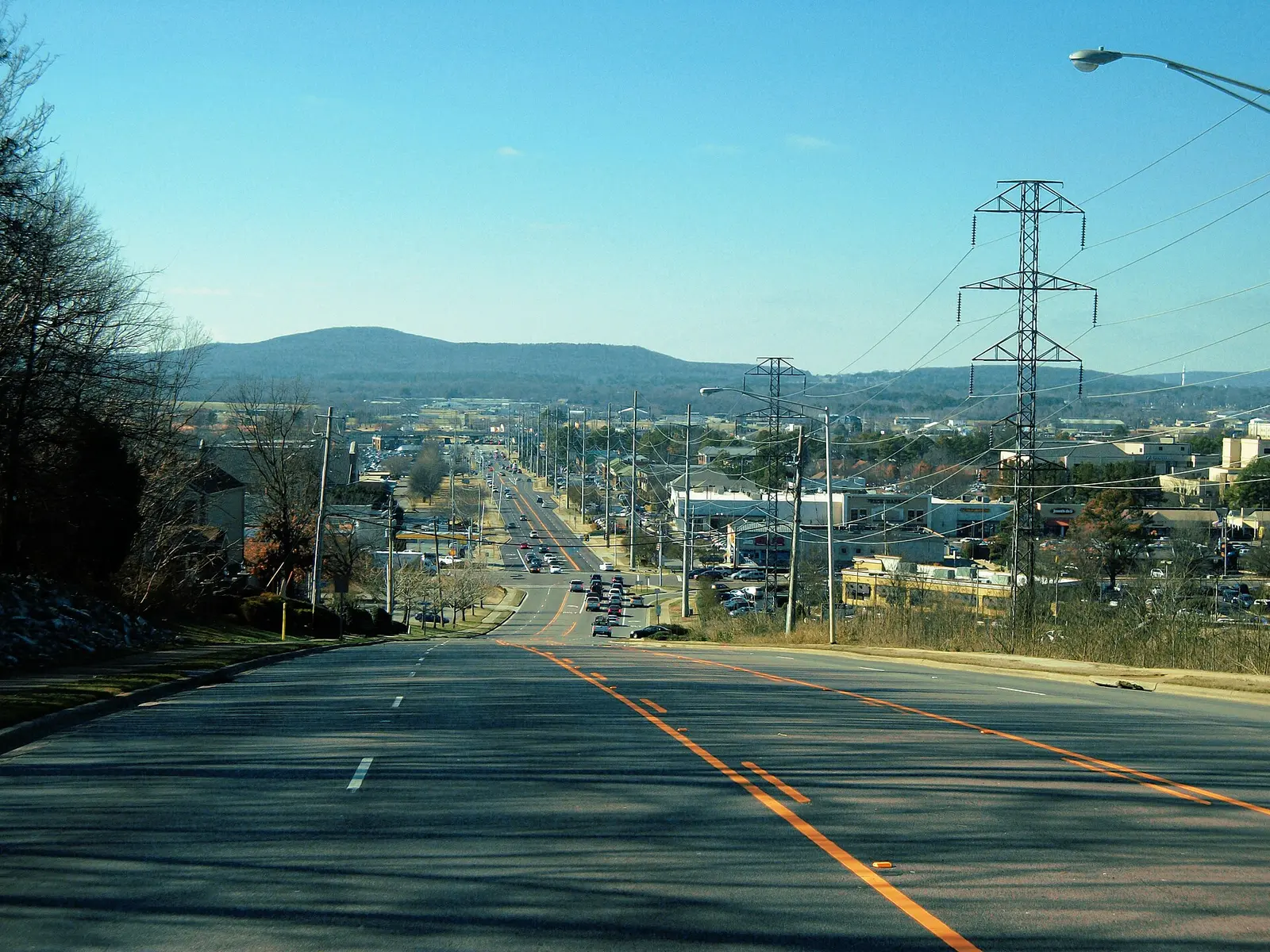
Jones Valley, southeast of downtown, spans ZIPs 35801 and 35802 and is zoned for Jones Valley Elementary, which scored 95 in 2025.
Last checked Oct. 17, 2026. Sources: the City of Huntsville’s address and school zone data, parks layer and Orbit schedule data; the Alabama State Department of Education’s state report card for 2025; Zillow Research; and OpenStreetMap.
Jones Valley runs south from Governors Drive, east of Memorial Parkway, along Whitesburg Drive, Airport Road and Four Mile Post Road. Subdivisions and apartment complexes sit behind the shopping centers on Airport Road, Whitesburg Drive and Memorial Parkway.
What this means for you
- Zoned high school: Huntsville High, for every address in the area (2025 state report card: 90, an A).
- Home value: $393,739 in ZIP 35801 and $358,652 in ZIP 35802 in September 2026, according to the Zillow Home Value Index.
- Nearest interstate exit: I-565 exit 20 (Oakwood Avenue and Andrew Jackson Way), about 4 miles by road, or exit 19 (Memorial Parkway), about 4.4 miles.
Part of our Huntsville neighborhoods guide.
Where it is
On this page Jones Valley is the Jones Valley Elementary zone, leaving out the slice of that zone in ZIP code 35805 west of Memorial Parkway, which is on our West Huntsville page. On Oct. 17, 2026, the city’s data held 7,253 address points in it: 53% in ZIP code 35801 and 47% in 35802, all inside city limits, so the city provides police, fire and garbage service.
OpenStreetMap names Jones Valley Estates, Tannahill Estates, Greenwycke Village, Huntsville Hills and Piedmont as places inside the area. The city’s Jones Valley Wellness Center is here.
Schools
Every address in the area is in the same three Huntsville City Schools zones. Scores are each school’s overall 2025 score on the state report card (the 2024-25 school year).
| Level | School | Share of addresses | 2025 score (grade) |
|---|---|---|---|
| High | Huntsville High | 100% | 90 (A) |
| Junior high (7-8) | Huntsville Junior High | 100% | 74 (C) |
| Elementary (pre-K to 6) | Jones Valley Elementary, 4908 Garth Road SE | 100% | 95 (A) |
Check one address with the city’s School Zone Locator. More in our schools guide.
Home values
The area spans two ZIP codes, according to the Zillow Home Value Index:
| ZIP code | Share of area addresses | Typical value, September 2026 | Change from September 2025 |
|---|---|---|---|
| 35801 | 53% | $393,739 | +1.8% |
| 35802 | 47% | $358,652 | +2.1% |
The index is a modeled typical value for the middle third of homes, not a sale price. 35801 also covers downtown, Five Points and part of Monte Sano; 35802 also covers much of South Huntsville west of Bailey Cove Road. The citywide figure was $286,952, up 1.4%. More in our home prices guide.
Parks and trails
From the city’s parks layer:
- John Hunt Park, 2151 Airport Road SW, about 454 acres, with walking paths and a playground, and the Kids Space Playground at 2010 Airport Road SW.
- Jones Farm Park, 1201 Four Mile Post Road SE, about 25 acres, with a walking path.
- Mayfair Park, 550 Thornton Ave. SW, with a playground.
More in our parks and trails guide and walking and biking trails guide.
Getting around
- Interstate: I-565 exit 20 (Oakwood Avenue and Andrew Jackson Way), about 4 miles by road, or exit 19 (Memorial Parkway and downtown), about 4.4 miles, using the exit numbers and destination signs mapped in OpenStreetMap. Memorial Parkway runs along the area’s west side.
- Downtown: about 2.6 miles by road to City Hall, 305 Fountain Circle.
- Airport: about 15 miles to Huntsville International Airport. Distances are measured from the middle of the area on the OpenStreetMap road network with the OSRM routing engine; they are distances, not drive times.
- Orbit buses: route 6 (Jones Valley) runs along Airport Road and Four Mile Post Road to Crestwood Medical Center; route 2 (Patton) stops at Huntsville High; route 56 (Bailey Cove) stops at Valley Bend Shopping Center; and route 1 (Brahan Spring) stops at Parkway Place Mall, according to the city’s schedule data.
More in our getting around guide.
Groceries and everyday stores
From OpenStreetMap:
- Publix, 4851 Whitesburg Drive SE, and The Fresh Market, 4800 Whitesburg Drive S.
- ALDI, 2900 Memorial Parkway SW, and Walmart Supercenter, 3031 Memorial Parkway SW.
- Parkway Place Mall, on Memorial Parkway SW.
How we drew this area
The area is the Jones Valley Elementary zone in the city’s school zone data, minus its addresses in ZIP 35805. School zones and ZIP codes come from every address point in it, checked Oct. 17, 2026. Place and store locations are © OpenStreetMap contributors.
Frequently asked questions
What schools is Jones Valley in Huntsville zoned for?
Jones Valley Elementary, Huntsville Junior High and Huntsville High, for every address in the Jones Valley Elementary zone east of the 35805 ZIP code. Their 2025 state report card scores were 95, 74 and 90.
What ZIP code is Jones Valley in Huntsville?
Two: 35801 for 53% of the addresses and 35802 for 47%. Zillow put the typical value at $393,739 in 35801 and $358,652 in 35802 in September 2026.
What park is in Jones Valley?
Jones Farm Park, 1201 Four Mile Post Road SE, with a walking path, and John Hunt Park, 2151 Airport Road SW, the city’s largest park in the area at about 454 acres.
Is Jones Valley a good place to live?
Here are the facts. Jones Valley has about 7,250 address points, Jones Farm Park and John Hunt Park, is zoned for Jones Valley Elementary (95 on the 2025 state report card) and Huntsville High (90), and is about 2.6 miles by road from City Hall.
Have your say