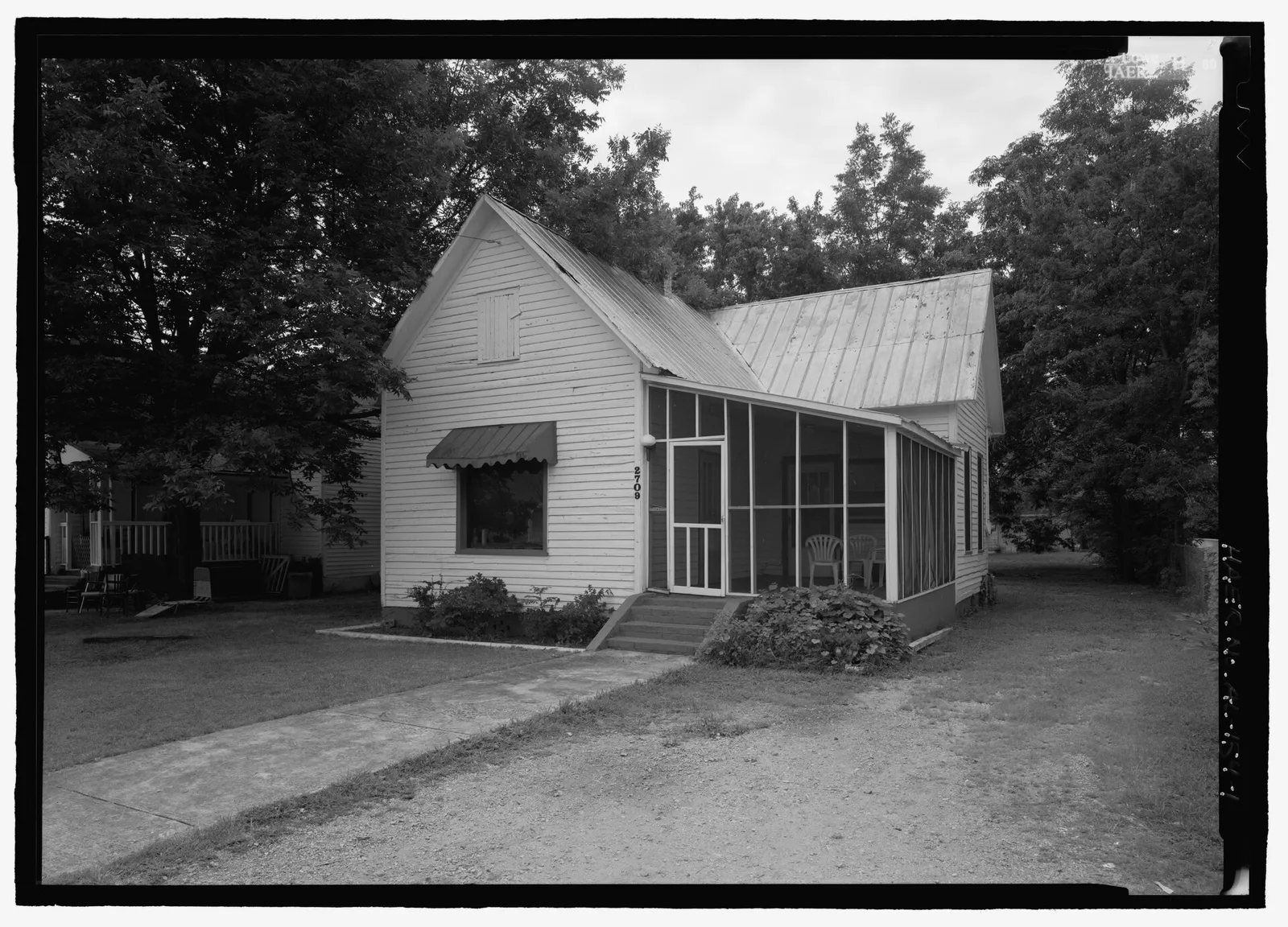
West Huntsville, the ZIP 35805 mill neighborhoods around Lowe Mill and Merrimack, splits among three high school zones. Zillow: $150,455.
Last checked Oct. 17, 2026. Sources: the City of Huntsville’s address and school zone data, Mill Creek Choice Neighborhood page, neighborhood associations list, parks layer and Orbit schedule data; the Alabama State Department of Education’s state report card for 2025; Zillow Research; and OpenStreetMap.
West Huntsville is the name OpenStreetMap and the West Huntsville/Lowe Mill Civic Association give to the old mill neighborhoods west of Memorial Parkway: Lowe Mill, Merrimack and Huntsville Park, with Brahan Spring Park, the south side of the University of Alabama in Huntsville and the Mill Creek redevelopment. Every address in this area is in ZIP code 35805.
What this means for you
- Zoned high school: split. Columbia High for 64% of addresses (2025 state report card: 71, a C), Grissom High for 25% (77, a C) and Huntsville High for 12% (90, an A).
- Home value: $150,455 in ZIP 35805 in September 2026, according to the Zillow Home Value Index.
- Nearest interstate exit: I-565 exit 15 (Madison Pike, Sparkman Drive and Bob Wallace Avenue), about 2 miles by road.
Part of our Huntsville neighborhoods guide.
Where it is
On this page West Huntsville is every Huntsville address in ZIP code 35805 outside the city’s Downtown area and South Huntsville’s Chaffee zone. On Oct. 17, 2026, the city’s data held 15,581 address points in it, all inside city limits, so the city provides police, fire and garbage service. It runs from Memorial Parkway west toward Cummings Research Park, on both sides of I-565, with Bob Wallace Avenue, Triana Boulevard and Governors Drive among its main roads.
OpenStreetMap names West Huntsville, Huntsville Park, Chelsea, Pea Ridge and Hillmont as places inside it, and maps the National Register-listed Merrimack Mill Village Historic District. The Lowe Mill building, 2211 Seminole Drive SW, is listed on the National Register of Historic Places and is home to Lowe Mill ARTS & Entertainment.
Note that the city also uses “west Huntsville” for its newer western corridor near Zierdt Road and Limestone County; that area is on our Zierdt Road page.
Mill Creek. The city’s Mill Creek Choice Neighborhood is a multi-year effort to rebuild the Butler Terrace and Johnson Towers area between Governors Drive and Clinton Avenue west of Memorial Parkway as a mixed-income neighborhood. The city says it is backed by a $50 million Choice Neighborhoods grant from the U.S. Department of Housing and Urban Development and more than $350 million in public and private investment, including a 125-unit workforce housing building by Huntsville Hospital.
Schools
West Huntsville is split among three high school zones. Scores are each school’s overall 2025 score on the state report card (the 2024-25 school year). Shares are of the area’s addresses in the city’s data and are rounded.
| Level | School | Share of addresses | 2025 score (grade) |
|---|---|---|---|
| High | Columbia High | 64% | 71 (C) |
| High | Virgil I. Grissom High | 25% | 77 (C) |
| High | Huntsville High | 12% | 90 (A) |
| Middle | Morris Middle, 4801 Bob Wallace Ave. | 64% | 78 (C) |
| Middle | Whitesburg Middle | 25% | 66 (D) |
| Junior high (7-8) | Huntsville Junior High | 12% | 74 (C) |
| Elementary | Morris Elementary, 4801 Bob Wallace Ave. | 36% | 78 (C) |
| Elementary | Ridgecrest Elementary, 3505 Cerro Vista St. SW | 28% | 82 (B) |
| Elementary | McDonnell Elementary, 4010 Binderton Place | 25% | 80 (B) |
| Elementary | Jones Valley Elementary | 6% | 95 (A) |
| Elementary | Blossomwood Elementary | 5% | 88 (B) |
Because the zones split this area street by street, check one address with the city’s School Zone Locator. More in our schools guide.
Home values
The typical home value in ZIP 35805 was $150,455 in September 2026, down 1.8% from $153,217 in September 2025, according to the Zillow Home Value Index. The index is a modeled typical value for the middle third of homes, not a sale price. The citywide Huntsville figure was $286,952, up 1.4%. More in our home prices guide.
Parks and trails
From the city’s parks layer:
- Brahan Spring Park, 3771 Ivy Ave. SW, about 251 acres, with walking paths and a playground.
- Metro Kiwanis Sportsplex, 3590 Patton Road SW, and Merrimack Soccer Complex, 3501 Triana Blvd. SW, both with playgrounds.
- Jim Marek Park, 3400 Clopton St. SW, with a walking path and playground.
- Archer Park, 3315 Archer Drive SW, and Pine Park, 3951 Pine Ave. SW, both with playgrounds.
More in our parks and trails guide.
Getting around
- Interstate: I-565 exit 15 (Madison Pike, Sparkman Drive and Bob Wallace Avenue), about 2 miles by road, or exit 17 (Jordan Lane and Governors Drive), about 2.4 miles, using the exit numbers and destination signs mapped in OpenStreetMap.
- Downtown: about 2.8 miles by road to City Hall, 305 Fountain Circle.
- Airport: about 12 miles to Huntsville International Airport. Distances are measured from the middle of the area on the OpenStreetMap road network with the OSRM routing engine; they are distances, not drive times.
- Orbit buses: route 2 (Patton) runs along Bob Wallace Avenue, route 5 (Byrd Spring) along Clinton Avenue and Seminole Drive, route 1 (Brahan Spring) along First Street and Ninth Avenue, and route 3 (Holmes, UAH) serves the UAH area, according to the city’s schedule data.
More in our getting around guide.
Neighborhood associations
The city’s neighborhood associations list includes the West Huntsville/Lowe Mill Civic Association (August and November, 6 p.m., Central Baptist Church, Ninth Avenue and First Street), the Merrimack Mill Village Organization (second Tuesday, 7 p.m., Huntsville Park Baptist Church), the Holiday Homes Neighborhood Association (first Monday, 6:30 p.m., All Nations Church, 3614 Drake Ave.) and the Westlawn Civic Association (second Monday, 6 p.m., 2007 14th St.). The city does not publish a list of homeowners associations.
Groceries and everyday stores
From OpenStreetMap: Walmart Neighborhood Market, 2305 Jordan Lane SW; Holiday International Market, 2701 Patton Road SW; and Choi’s Oriental Food & Gifts, 402 Jordan Lane.
How we drew this area
The area is every Huntsville address point in ZIP 35805 in the city’s data, minus the Downtown area and the Chaffee zone, checked Oct. 17, 2026. Place and store locations are © OpenStreetMap contributors.
Frequently asked questions
What high school is West Huntsville zoned for?
It depends on the street. Of the area’s addresses in the city’s data, 64% are zoned for Columbia High, 25% for Grissom High and 12% for Huntsville High. Their 2025 state report card scores were 71, 77 and 90.
What ZIP code is West Huntsville?
35805, for every address in this area. Zillow put the typical home value in 35805 at $150,455 in September 2026, down 1.8% from a year earlier.
What is the Mill Creek Choice Neighborhood?
A multi-year redevelopment of the Butler Terrace and Johnson Towers area between Governors Drive and Clinton Avenue west of Memorial Parkway, backed by a $50 million federal Choice Neighborhoods grant, the city says.
Is West Huntsville a good place to live?
Here are the facts. The area has about 15,580 address points, all in ZIP 35805, with Brahan Spring Park, Lowe Mill and part of the UAH campus; it is split among the Columbia, Grissom and Huntsville High zones and is about 2.8 miles by road from City Hall.
Have your say