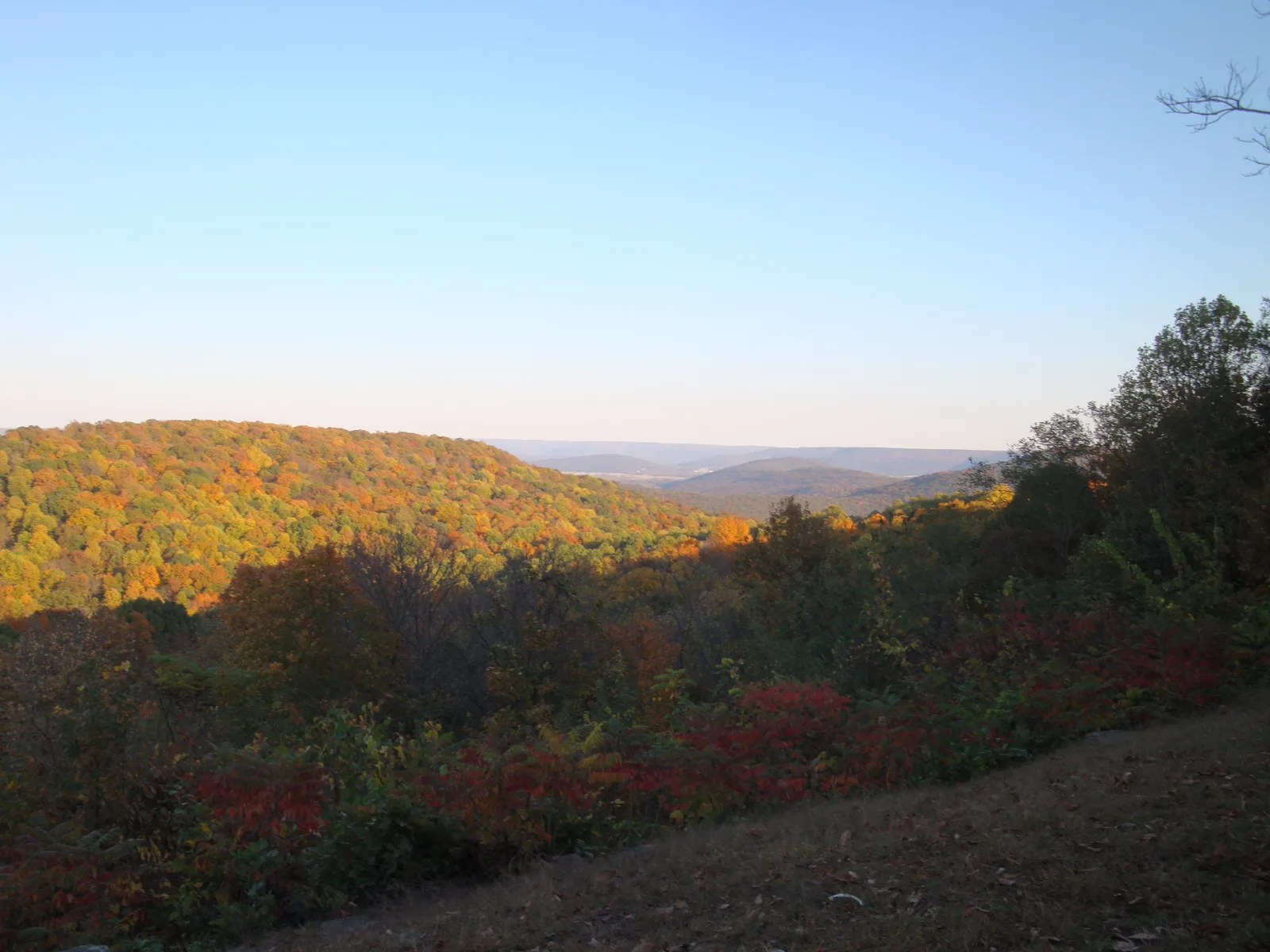
Huntsville's greenways with miles and trailhead parking from the city, plus Monte Sano State Park and the Land Trust's free nature preserves.
Last checked Oct. 17, 2026. Distances, trailheads and parking come from the City of Huntsville’s Trails and Greenways page and each greenway’s city page, Alabama State Parks and the Land Trust of North Alabama, linked below.
Huntsville has about 73 miles of greenways and trails today, the city says, on the way to a planned 312-mile network. The paved greenways follow creeks through south, east and west Huntsville; the hiking is on Monte Sano and the Land Trust of North Alabama’s mountain preserves, which are free.
At a glance
- Longest paved greenways: Aldridge Creek (5.49 miles) and Little Cove (5.04 miles).
- Downtown: Gateway Greenway, 0.6 miles, Jefferson Street to Pratt Avenue.
- Mountain hiking: Monte Sano State Park (20 miles of hiking trails) and the Land Trust’s free preserves.
- Bike map: maps.huntsvilleal.gov/bikeroutes.
- Parks and Recreation office: 256-564-8026, 2411 Ninth Ave. SW.
City greenways
| Greenway | Area | Length | Route and parking (city) |
|---|---|---|---|
| Aldridge Creek | South | 5.49 miles | Near Bailey Cove Road, a half-mile south of Weatherly Road, to Ditto Landing; park at Ken Johnston Park or Ditto Landing |
| Little Cove | East | 5.04 miles | Old Highway 431 to the Flint River bridge; trailhead parking on Old Highway 431 at Hampton Cove Elementary |
| Zierdt | West | 3.3 miles | Paved multiuse path along Zierdt Road from Shelton Road to Martin Road; park at the Publix stores on Madison Boulevard and Zierdt Road |
| Big Cove Creek | East | 2.86 miles | Cranfield Road to the Flint River Greenway at Hays Nature Preserve; trailheads on Old Highway 431 and at Hays |
| Indian Creek | West | 2.95 miles (south) and 0.82 miles (north) | Old Madison Pike to Creekwood Park; U.S. 72 to Providence School; trailheads on Old Madison Pike, at Creekwood Park and in the Village of Providence |
| Elgie’s Walk | South | 2 miles | Paved, from Grissom High School to Bell Mountain Park; park at Bell Mountain Park, 2560 Redstone Road |
| Flint River | East | 1.87 miles | Big Cove Creek Greenway to the Flint River pedestrian bridge; park at Hays Nature Preserve or off Old Highway 431 |
| Trailhead | East | 1.25 miles | See city page |
| Tennessee River | South | 0.93 miles | See city page |
| Atwood Linear Park | South | 0.9 miles | See city page |
| Gateway | Downtown | 0.6 miles | Jefferson Street to Pratt Avenue; parking along Meridian Street |
| Wade Mountain | North | Multiple segments | See city page |
Linking up: the Big Cove Creek, Flint River and Little Cove greenways meet around the Hays Nature Preserve in Hampton Cove, so you can string them together for a longer ride. The Hays Nature Preserve, 7153 U.S. 431 S., has more than 10 miles of trails and greenways of its own. Leashed dogs are welcome on city greenways; see our dog-friendly guide.
Monte Sano State Park
Monte Sano State Park, 5105 Nolen Ave., covers 2,140 acres with 20 miles of hiking trails and 14 miles of biking trails; native azaleas bloom along them in spring and the leaves turn in fall, Alabama State Parks says.
- Hours: 8 a.m. to sunset; trails close 30 minutes before sunset. Office: 8 a.m. to 5 p.m. daily.
- Gate fees: $5 for ages 12-61; $2 for ages 4-11 and 62 and older; $20 maximum for a standard passenger vehicle.
Land Trust of North Alabama preserves (free)
The Land Trust of North Alabama runs 10 public nature preserves with more than 100 miles of trails. They are free and open dawn to dusk daily, except Cane Creek Canyon. Preserves in and near Huntsville include:
| Preserve | Address listed by the Land Trust |
|---|---|
| Monte Sano Nature Preserve | 2442 Bankhead Parkway NE |
| Blevins Gap Nature Preserve | 3470 Cecil Ashburn Drive SE |
| Chapman Mountain Nature Preserve | 1263 U.S. 72 E. |
| Green Mountain Nature Preserve | 13800 South Shawdee Road |
| Hickory Cove Nature Preserve | 1500 Trailhead Main St. |
| Wade Mountain Nature Preserve | 10130 Spragins Hollow Road NW |
| Bethel Spring Nature Preserve | 2641 Cherry Tree Road, Gurley |
Trail maps for each preserve are on the Land Trust’s preserves page.
Bike routes
The city’s bike routes map lets you search by route type, distance and difficulty. Road work that closes a route is on our road construction and closures page.
Related guides
Frequently asked questions
What is the longest greenway in Huntsville?
The Aldridge Creek Greenway in south Huntsville, 5.49 miles from near Bailey Cove Road to Ditto Landing, followed by the Little Cove Greenway in east Huntsville at 5.04 miles, according to the city.
Where do I park for the Aldridge Creek Greenway?
At Ken Johnston Park or Ditto Landing, the city says.
Are Land Trust trails in Huntsville free?
Yes. The Land Trust of North Alabama’s public nature preserves are free and open dawn to dusk daily, except Cane Creek Canyon, which has its own schedule.
How many miles of trails are at Monte Sano State Park?
20 miles of hiking trails and 14 miles of biking trails across 2,140 acres. The park is open 8 a.m. to sunset, trails close 30 minutes before sunset, and there is a gate fee.
Is there a bike route map for Huntsville?
Yes. The city’s interactive bike routes map at maps.huntsvilleal.gov/bikeroutes lets you search routes by type, distance and difficulty.
Have your say