Huntsville's Highway 72 West area is zoned for Providence Elementary and Columbia High; a third of its addresses use Madison mailing ZIPs.
Last checked Oct. 17, 2026. Sources: the City of Huntsville’s address and school zone data, parks layer and Orbit schedule data; the Alabama State Department of Education’s state report card for 2025; Zillow Research; and OpenStreetMap.
This is the part of Huntsville along U.S. 72 West (University Drive) from Research Park Boulevard west toward the Limestone County line, north of Cummings Research Park. Its subdivisions and apartment complexes sit on both sides of the highway and its shopping centers, sharing roads, stores and ZIP codes with the city of Madison next door.
What this means for you
- Zoned high school: Columbia High, for every address in the area (2025 state report card: 71, a C).
- Home value: $365,309 in ZIP 35806 in September 2026, according to the Zillow Home Value Index.
- Nearest interstate exit: I-565 exit 13 (Madison Boulevard), about 5 miles by road.
Part of our Huntsville neighborhoods guide.
Where it is
On this page the area is the Huntsville part of the Providence Elementary zone. On Oct. 17, 2026, the city’s data held 20,804 address points in it, all inside Huntsville city limits:
- 63% in ZIP code 35806, a Huntsville ZIP code;
- 26% in 35757 and 8% in 35758, ZIP codes that carry a Madison mailing address;
- the rest in 35816, 35749 and 35896.
Check the city, not the mailing address. A “Madison, AL” address here can be inside Huntsville, with Huntsville police, fire and garbage service and Huntsville City Schools, or inside the city of Madison, with Madison services and Madison City Schools. The Madison County property search shows which city a parcel is in; the city’s School Zone Locator shows the school district.
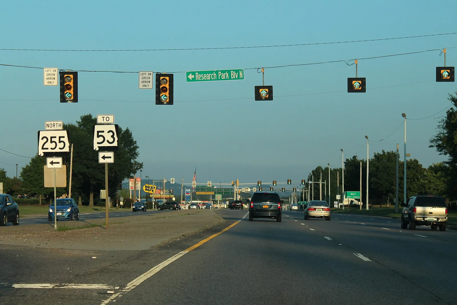
OpenStreetMap names Rainbow, Oakwood and Rideout Village as places inside the area. Research Park Boulevard (State Route 255) runs south from U.S. 72 through Cummings Research Park to I-565.
Schools
Every address in the area is in the same three Huntsville City Schools zones. Scores are each school’s overall 2025 score on the state report card (the 2024-25 school year).
| Level | School | Share of addresses | 2025 score (grade) |
|---|---|---|---|
| High | Columbia High, 300 Explorer Blvd. | 100% | 71 (C) |
| Middle | Williams Middle, 155 Barren Fork Blvd. SW | 100% | 78 (C) |
| Elementary | Providence Elementary, 10 Chalkstone St. | 100% | 83 (B) |
Columbia High and Williams Middle are south of I-565, on our Zierdt Road page. More in our schools guide.
Home values
According to the Zillow Home Value Index:
| ZIP code | Share of area addresses | Zillow files it under | Typical value, September 2026 | Change from September 2025 |
|---|---|---|---|---|
| 35806 | 63% | Huntsville | $365,309 | +0.8% |
| 35757 | 26% | Madison | $348,989 | +0.4% |
| 35758 | 8% | Madison | $376,539 | +1.4% |
The index is a modeled typical value for the middle third of homes, not a sale price, and each ZIP code also covers homes outside this area, including in the city of Madison. The citywide Huntsville figure was $286,952, up 1.4%. More in our home prices guide.
Parks and trails
From the city’s parks layer: Knox Creek Park, 180 Greenbank Drive NW, about 27 acres, with a walking path and playground. Apollo Park at MidCity is just east, on our University Drive and MidCity page. More in our parks and trails guide.
Getting around
- Interstate: I-565 exit 13 (Madison Boulevard), about 5.2 miles by road from the middle of the area, using the exit numbers and destination signs mapped in OpenStreetMap; exit 14 (Research Park Boulevard) serves the east end.
- Downtown: about 7.9 miles by road to City Hall, 305 Fountain Circle.
- Airport: about 12.4 miles to Huntsville International Airport. Distances are measured on the OpenStreetMap road network with the OSRM routing engine; they are distances, not drive times.
- Orbit buses: route 4 (University Drive) stops along U.S. 72 at Old Monrovia Road and The Boardwalk, and route 9 (Oakwood) and route 11 (UAH Campus) reach the area’s east end, according to the city’s schedule data.
More in our getting around guide.
Groceries and everyday stores
From OpenStreetMap, in or next to the area:
- Publix, 1660 Old Monrovia Road NW.
- Kroger, 7090 University Drive NW and 8855 Highway 72 West.
- Walmart Supercenter, 6140 University Drive NW and 8580 U.S. 72 West.
- ALDI, 7676 Highway 72 West, and Sprouts Farmers Market, 7504 U.S. 72 West.
- CVS Pharmacy, 8470 U.S. 72 West.
How we drew this area
The area is the Providence Elementary zone in the city’s school zone data, Huntsville addresses only, checked Oct. 17, 2026. Place and store locations are © OpenStreetMap contributors.
Frequently asked questions
What schools is Huntsville’s Highway 72 West area zoned for?
Providence Elementary, Williams Middle and Columbia High, for every address in the Providence Elementary zone in the city’s data. Their 2025 state report card scores were 83, 78 and 71.
Why does my Huntsville address have a Madison ZIP code?
ZIP codes do not follow city limits. In this area 26% of Huntsville addresses use 35757 and 8% use 35758, which carry a Madison mailing address in the city’s data and which Zillow files under Madison. The parcel record, not the ZIP code, tells you which city you are in.
What is the typical home value off Highway 72 West in Huntsville?
Zillow put it at $365,309 in ZIP 35806, $348,989 in 35757 and $376,539 in 35758 in September 2026. These are modeled values for whole ZIP codes, not sale prices.
Is the Highway 72 West area of Huntsville a good place to live?
Here are the facts. The area has about 20,800 address points inside Huntsville, Knox Creek Park, stores along U.S. 72 and Cummings Research Park to the south; it is zoned for Columbia High (71 on the 2025 state report card) and is about 8 miles by road from City Hall.
Have your say