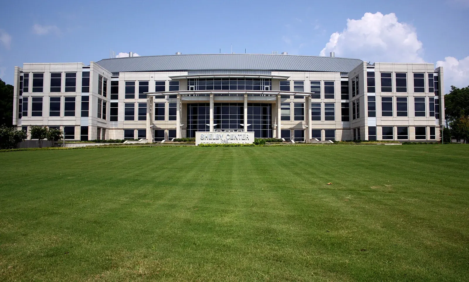
The University Drive area, from Terry Heights to MidCity, is mostly ZIP 35816 and split between Huntsville High and Columbia High zones.
Last checked Oct. 17, 2026. Sources: the City of Huntsville’s address and school zone data, parks layer, news releases and Orbit schedule data; the Alabama State Department of Education’s state report card for 2025; Zillow Research; and OpenStreetMap.
This area runs along University Drive (U.S. 72) north of I-565, from Terry Heights and Hillandale near Memorial Parkway west past the north campus of the University of Alabama in Huntsville to the MidCity District near Research Park Boulevard. It takes in older neighborhoods such as McThornmor Acres, student housing at the university and the corridor’s stores.
What this means for you
- Zoned high school: split. Huntsville High for 65% of addresses (2025 state report card: 90, an A) and Columbia High for 35% (71, a C).
- Home value: $158,100 in ZIP 35816 and $365,309 in ZIP 35806 in September 2026, according to the Zillow Home Value Index.
- Nearest interstate exit: I-565 exit 15 (Madison Pike, Sparkman Drive and Bob Wallace Avenue), about 2.3 miles by road.
Part of our Huntsville neighborhoods guide.
Where it is
On this page the area is the Sonnie Hereford Elementary zone and the part of the Morris Elementary zone outside ZIP 35805, north of I-565. On Oct. 17, 2026, the city’s data held 9,853 address points in it, all inside city limits: 67% in ZIP code 35816 and 32% in 35806. The city provides police, fire and garbage service.
OpenStreetMap names Terry Heights, Hillandale, University Park, Cavalry Hill, Sherwood Park, Russell Hill and Union Park as places inside it.
McThornmor Acres, incorporated in 1956, joined the National Register of Historic Places in 2022 as Alabama’s first historic district directly linked to the Space Race, the city said in November 2023; its early residents worked in the aerospace and missile programs at Redstone Arsenal.
MidCity District. The third and final phase of Apollo Park, completed in December 2024, brought the park to 20 acres near Topgolf and The Orion Amphitheater, with a pond for kayaks and canoes and paved walking paths, the city said. Metronome, a five-story apartment building at MidCity, began taking tenants in 2023, according to a city post. The city is running a transit-oriented development study of the University Drive corridor and held public meetings on it in August 2026, it said.
Schools
Scores are each school’s overall 2025 score on the state report card (the 2024-25 school year). Shares are of the area’s addresses in the city’s data.
| Level | School | Share of addresses | 2025 score (grade) |
|---|---|---|---|
| High | Huntsville High | 65% | 90 (A) |
| High | Columbia High | 35% | 71 (C) |
| Junior high (7-8) | Huntsville Junior High | 65% | 74 (C) |
| Middle | Morris Middle | 35% | 78 (C) |
| Elementary (pre-K to 6) | Sonnie Hereford Elementary, 2755 Wilson Drive | 65% | 76 (C) |
| Elementary | Morris Elementary | 35% | 78 (C) |
Check one address with the city’s School Zone Locator. More in our schools guide.
Home values
According to the Zillow Home Value Index:
| ZIP code | Share of area addresses | Typical value, September 2026 | Change from September 2025 |
|---|---|---|---|
| 35816 | 67% | $158,100 | +2.7% |
| 35806 | 32% | $365,309 | +0.8% |
The index is a modeled typical value for the middle third of homes, not a sale price. 35806 also covers the neighborhoods west of Research Park Boulevard, and 35816 part of northwest Huntsville. The citywide figure was $286,952, up 1.4%. More in our home prices guide.
Parks and trails
From the city’s parks layer:
- Apollo Park, 901 Nunnuhsae Park Drive NW, at MidCity, about 20 acres, with walking paths.
- Sherwood Park, 325 Town and Country Drive NW, with a walking path and playground.
- Cavalry Hill Park, 2800 Poplar Ave. NW, with a playground.
- Hillendale Park, 2910 Holmes Ave. NW, with a playground.
More in our parks and trails guide.
Getting around
- Interstate: I-565 exit 15 (Madison Pike, Sparkman Drive and Bob Wallace Avenue), about 2.3 miles by road, or exit 17 (Jordan Lane and Governors Drive), about 2.9 miles, using the exit numbers and destination signs mapped in OpenStreetMap.
- Downtown: about 3.7 miles by road to City Hall, 305 Fountain Circle.
- Airport: about 12 miles to Huntsville International Airport. Distances are measured from the middle of the area on the OpenStreetMap road network with the OSRM routing engine; they are distances, not drive times.
- Orbit buses: route 4 (University Drive) runs the corridor to MidCity; route 3 (Holmes, UAH) serves Holmes Avenue, UAH and Bradford Drive; route 9 (Oakwood) and route 10 (Pulaski Pike) also stop here; and route 11, a Friday evening UAH campus route, according to the city’s schedule data.
More in our getting around guide.
Neighborhood associations
The city’s neighborhood associations list includes Terry Heights/Hillandale (quarterly, Meadow Drive Baptist Church), the University Park Homeowner’s Association (second Monday, 6:30 p.m., University Baptist Church) and the Sherwood Park Civic Association (fourth Tuesday, 332 Forest Park Court).
Groceries and everyday stores
From OpenStreetMap: Trader Joe’s, 1100 Mid City Drive NW; Indian Market, 4320 University Drive NW; and Walgreens, 3997 University Drive NW.
How we drew this area
The area is the Sonnie Hereford Elementary zone and the Morris zone outside ZIP 35805 in the city’s school zone data, checked Oct. 17, 2026. Place and store locations are © OpenStreetMap contributors.
Frequently asked questions
What high school is the University Drive area of Huntsville zoned for?
It is split. The Sonnie Hereford Elementary zone, 65% of the area’s addresses, feeds Huntsville High; the Morris zone north of I-565, 35%, feeds Columbia High. Their 2025 state report card scores were 90 and 71.
What is MidCity in Huntsville?
A mixed-use district on University Drive near Research Park Boulevard with The Orion Amphitheater, Topgolf, the 20-acre Apollo Park and the Metronome apartments, according to the city.
What ZIP codes are near University Drive in Huntsville?
35816 for 67% of this area’s addresses and 35806 for 32%. Zillow put the typical home value at $158,100 in 35816 and $365,309 in 35806 in September 2026.
Is the University Drive area a good place to live?
Here are the facts. The area has about 9,850 address points, the McThornmor Acres historic district, Apollo Park and the MidCity District, and is about 3.7 miles by road from City Hall; most of it is zoned for Sonnie Hereford Elementary (76 on the 2025 state report card) and Huntsville High (90).
Have your say