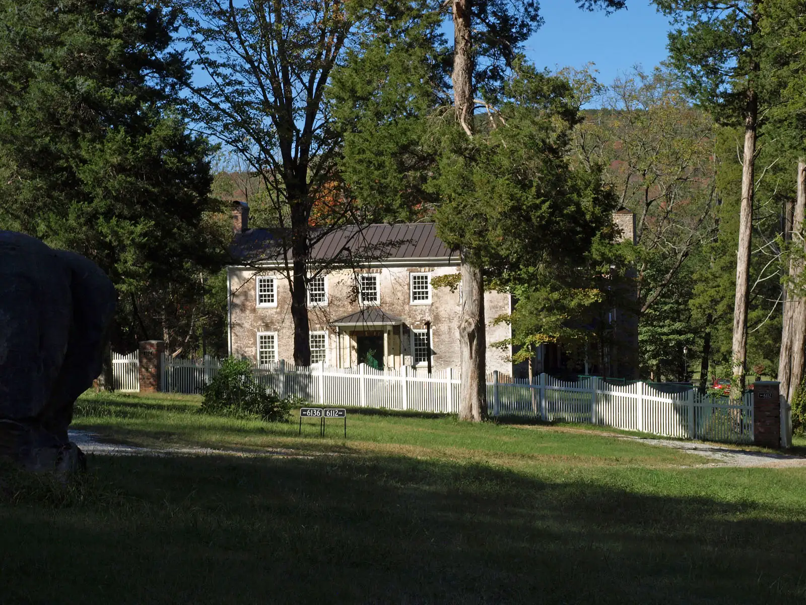
Northwest Huntsville, around Pulaski Pike and Lakewood, is zoned for Jemison High and is mostly ZIP 35810. Zillow: $167,004 in September.
Last checked Oct. 17, 2026. Sources: the City of Huntsville’s address and school zone data, parks layer, news releases and Orbit schedule data; the Alabama State Department of Education’s state report card for 2025; Zillow Research; and OpenStreetMap.
The city calls the neighborhoods around Legacy Park “northwest Huntsville.” On this page that means the area north of University Drive and west of Memorial Parkway, along Pulaski Pike, Blue Spring Road, Mastin Lake Road and Sparkman Drive, out to Wade Mountain. It has several large city parks and two of the district’s magnet academies.
What this means for you
- Zoned high school: Jemison High, for every address in the area (2025 state report card: 69, a D).
- Home value: $167,004 in ZIP 35810 in September 2026, according to the Zillow Home Value Index.
- Nearest interstate exit: I-565 exit 19 (Memorial Parkway), about 4 miles by road.
Part of our Huntsville neighborhoods guide.
Where it is
On this page northwest Huntsville is the Jemison High zone: the Rolling Hills, Highlands, James I. Dawson and Lakewood elementary zones. On Oct. 17, 2026, the city’s data held 16,201 address points in it, all inside city limits: 77% in ZIP code 35810, 18% in 35816 and the rest in 35806 and 35773. The city provides police, fire and garbage service.
OpenStreetMap names more than 30 places inside the area, among them Lakewood, Davis Hills, Meadow Hills, Mount Charron Estates, The Highlands, Rolling Meadows and Grove Park.
Legacy Park and the Johnson Legacy Center. Legacy Park sits on the site of the former J.O. Johnson High School, next to the Johnson Legacy Center, a membership recreation center. Its design called for an entertainment pavilion, a playground and open lawn, according to a city release from October 2021. The city’s parks layer lists it at 6001 Cecil Fain Drive NW.
Schools
Scores are each school’s overall 2025 score on the state report card (the 2024-25 school year). Shares are of the area’s addresses in the city’s data.
| Level | School | Share of addresses | 2025 score (grade) |
|---|---|---|---|
| High | Jemison High, 5000 Pulaski Pike | 100% | 69 (D) |
| Junior high (7-8) | Ronald E. McNair 7-8, 5000 Pulaski Pike | 100% | 69 (D) |
| Elementary | Rolling Hills Elementary, 2901 Hilltop Terrace NW | 32% | 78 (C) |
| Elementary | Highlands Elementary, 2500 Barney Terrace NW | 28% | 78 (C) |
| Elementary | James I. Dawson Elementary, 5308 Mastin Lake Road NW | 20% | 77 (C) |
| Elementary | Lakewood Elementary, 3501 Kenwood Drive NW | 20% | 76 (C) |
Two district magnet academies are inside the area but take students by application, not by zone: the Academy for Science and Foreign Language, 3221 Mastin Lake Road (2025 scores: 91 (A) elementary, 92 (A) middle), and the Academy for Academics and Arts, 4800 Sparkman Drive (81 (B) elementary, 86 (B) middle). See the district’s magnet programs. Check one address with the city’s School Zone Locator. More in our schools guide.
Home values
According to the Zillow Home Value Index:
| ZIP code | Share of area addresses | Typical value, September 2026 | Change from September 2025 |
|---|---|---|---|
| 35810 | 77% | $167,004 | -1.4% |
| 35816 | 18% | $158,100 | +2.7% |
The index is a modeled typical value for the middle third of homes, not a sale price. 35816 also covers the University Drive area. The citywide figure was $286,952, up 1.4%. More in our home prices guide.
Parks and trails
From the city’s parks layer:
- Stoner Park, 3715 Bragg St. NW, about 68 acres, with a walking path and playground.
- Mastin Lake Park, 3315 Watson Drive NW, about 32 acres, with a playground.
- Lakewood Park, 2225 York Road NW, about 25 acres, with a walking path and playground.
- Dr. Richard Showers Sr. Park, 4600 Blue Spring Road NW, with a walking path and playground.
- Legacy Park, 6001 Cecil Fain Drive NW, with a walking path and playground.
- Wade Mountain Nature Preserve, 9500 Spragins Hollow Road NW, Land Trust of North Alabama land with trails, at the area’s northern edge.
More in our parks and trails guide.
Getting around
- Interstate: I-565 exit 19 (Memorial Parkway), about 4 miles by road, or exit 20 (Oakwood Avenue and Andrew Jackson Way), about 4.3 miles, using the exit numbers and destination signs mapped in OpenStreetMap.
- Downtown: about 4.1 miles by road to City Hall, 305 Fountain Circle.
- Airport: about 16 miles to Huntsville International Airport. Distances are measured from the middle of the area on the OpenStreetMap road network with the OSRM routing engine; they are distances, not drive times.
- Orbit buses: route 10 (Pulaski Pike) has the most stops in the area, including the Richard Showers recreation center; route 9 (Oakwood) serves Sparkman Drive and Jordan Lane, route 8 (Blue Spring) Blue Spring Road and Mastin Lake Road, and route 7 (Meridian, A&M) Winchester Road, according to the city’s schedule data.
More in our getting around guide.
Neighborhood associations
The city’s neighborhood associations list includes the East Mastin Lake Homeowners/Renters Association (first Tuesday, 6:30 p.m., Solid Rock Church, 403 Treymore Ave.), the Meadow Hills Initiative (Richard Showers Center) and the Mount Charron Homeowners Association (last Monday in September, 6:30 p.m., Richard Showers Recreation Center). The city does not publish a fuller list of homeowners associations.
Groceries and everyday stores
From OpenStreetMap: Walmart Supercenter, 2200 Sparkman Drive NW, and Aldi, 4710 University Drive NW, on the area’s southern edge.
How we drew this area
The area is the Jemison High zone in the city’s school zone data. School zones and ZIP codes come from every address point in it, checked Oct. 17, 2026. Place and store locations are © OpenStreetMap contributors.
Frequently asked questions
What high school is northwest Huntsville zoned for?
Jemison High, 5000 Pulaski Pike, for every address in this area in the city’s school zone data, with Ronald E. McNair 7-8 on the same campus. Both scored 69, a D, on the 2025 state report card.
What ZIP code is northwest Huntsville?
Mostly 35810 (77% of addresses), with 35816 (18%). Zillow put the typical home value at $167,004 in 35810 and $158,100 in 35816 in September 2026.
What is Legacy Park in Huntsville?
A city park at 6001 Cecil Fain Drive NW on the site of the former J.O. Johnson High School, next to the Johnson Legacy Center recreation center, with a playground and walking path.
Is northwest Huntsville a good place to live?
Here are the facts. The area has about 16,200 address points, Stoner Park, Lakewood Park, Mastin Lake Park and the Wade Mountain Nature Preserve, two district magnet academies, and is zoned for Jemison High (69 on the 2025 state report card); it is about 4 miles by road from City Hall.
Have your say